
Our strategic solutions unlock opportunities and solve business problems.

We combine audience insights with our strategic expertise.

We prototype interaction, animation and experiences to bring UI to life.

Design is at the heart of everything we do, with every solution tailored to the needs of each client.

Creative yet functional, we develop comprehensive Design Systems.

Visuals and aesthetics are the best tools to communicate effectively.

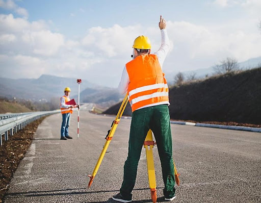
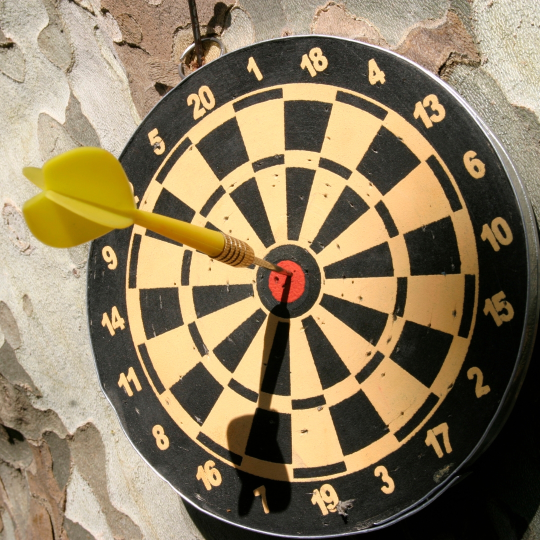
Unmatched Precision
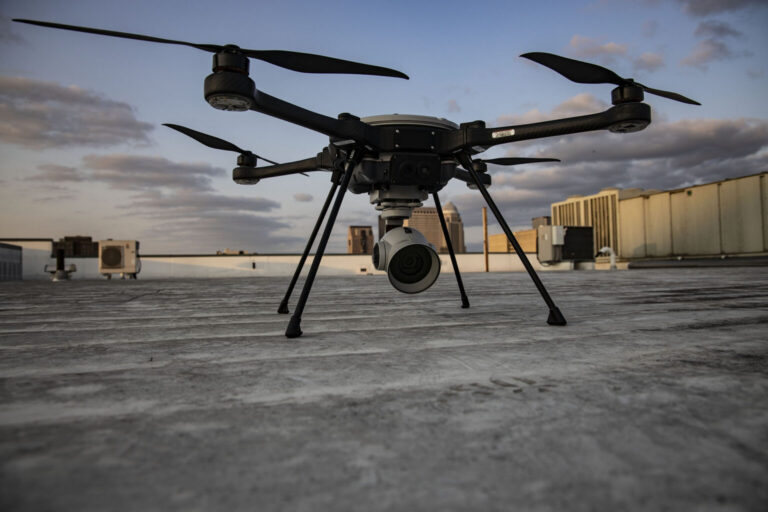
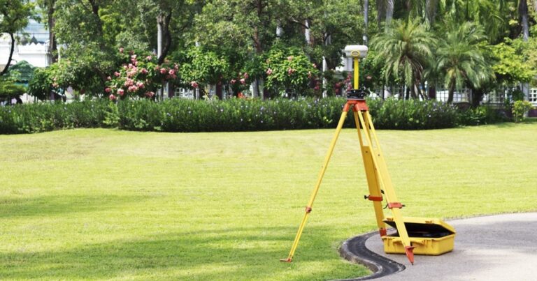
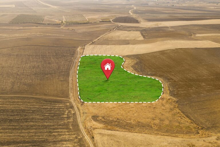
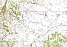
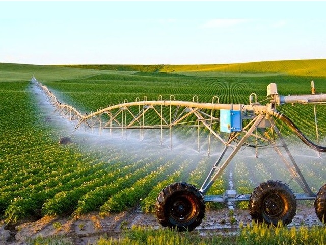
We deliver highly accurate aerial and ground surveys using advanced drones and sensors.
Certified Expertise
Our pilots and surveyors are fully trained and certified to meet industry standards.
Commitment to Quality
We stand by our promise of reliable, precise, and actionable geospatial data.
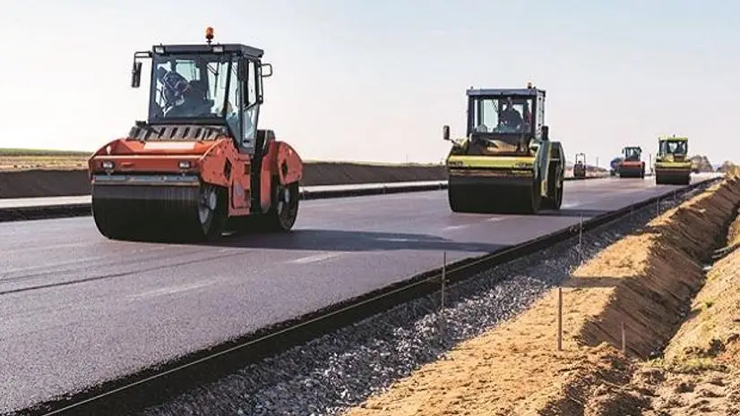
End-to-End Solutions
From data collection to analysis and reporting, we handle everything for you.


"VayuNaksha delivered highly accurate drone surveys for our township project. The turnaround was quick, and the results were spot on!"
August 31, 2024

"Professional team, modern equipment, and deep understanding of geospatial needs. VayuNaksha is our go-to partner for all mapping projects."
September 23, 2024

"Their work helped us optimize land usage and avoid costly errors in our construction layout. Very impressed with their precision."
July 7, 2024

"Excellent service from start to finish. From flood analysis to GIS mapping, they handled everything with utmost efficiency."
July 7, 2024