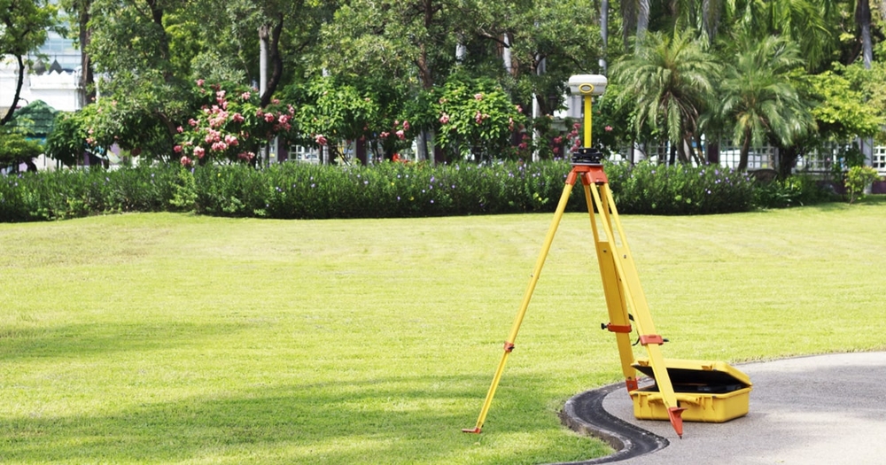
On-site, equipment-based data collection using Total Stations, DGPS, and Auto Levels.

Service features
For small to mid-sized projects needing pinpoint accuracy or where drone usage is restricted.
DGPS Survey (Differential GPS)
Provides high-precision coordinates and control points.
Total Station Survey:
Captures angles, distances, and elevations. Used for plotting, layouts, and structural analysis.
Auto Level Survey
Measures ground elevation for roads, canals, and platforms.
Traversing & Control Point Setup:
Establishes base control networks for construction and large mapping areas.
Road Alignment & Cross Section Surve:
Used in road design to collect alignment and profile data.
Canal, Drain & Pipeline Alignment:
Maps routes and alignment for water and utility lines.
L-section / X-section for Infrastructure:
Provides longitudinal and cross-sectional views of terrain and alignment paths.
Railway & Bridge Route Survey:
Critical for infrastructure alignment and land acquisition planning.


