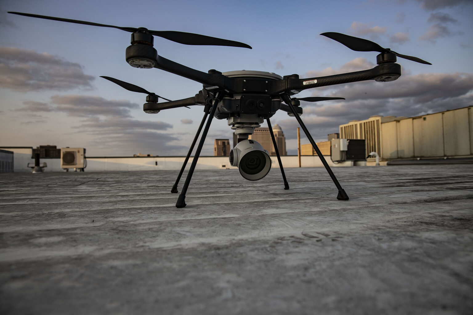
High-precision aerial data collection using drones equipped with advanced cameras and sensors.

Service features
For large land areas, inaccessible terrain, real-time construction monitoring, agricultural health checks, or rapid disaster assessment.
Drone Land Survey (Orthomosaic Mapping)
Creates high-resolution, geo-referenced aerial maps. Ideal for land records, site planning, and base maps
Topographic Survey via Drone
Captures elevation data and terrain features for civil, infrastructure, and planning projects.
3D Mapping & Surface Modeling
Generates 3D models of terrain or structures. Used in architecture, mining, and city planning.
Aerial Construction Progress Monitoring
Provides regular visual updates from above, useful for project reporting and timeline tracking.
Contour Mapping
Delivers detailed contour lines for engineering, drainage, and roadwork planning.
Flood / Disaster Damage Assessment
Rapid assessment of impacted areas for rescue, insurance, and rehabilitation planning.
Agriculture Survey (NDVI, Pest Analysis, Irrigation Planning)
Identifies crop health, irrigation needs, and pest infestation using NDVI and other spectral indices.
Power Line & Solar Panel Inspection
Detects faults, overheating, and alignment issues in solar arrays and electrical infrastructure.
Forest, Mining & Environmental Monitoring
Monitors changes in land use, vegetation health, and resource extraction impacts.
Thermal & Multispectral Imaging (Advanced Sensors)
Captures temperature variations and multi-spectrum data for scientific and industrial uses.


