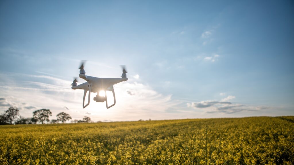
How Drone Surveys are Transforming Environmental Monitoring in India
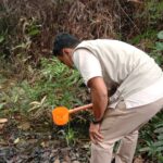
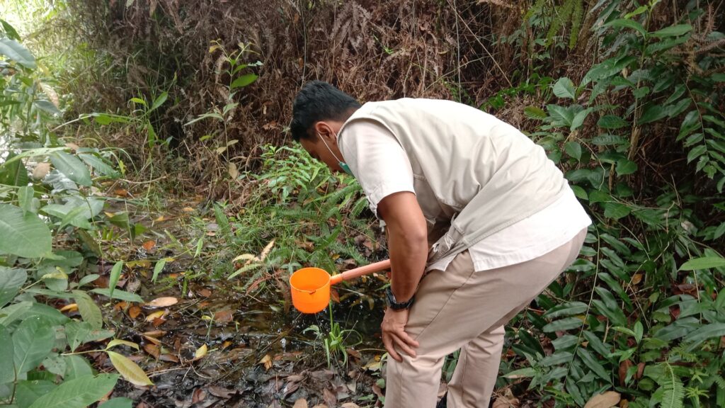
Protecting the environment is more important than ever. Drone technology is revolutionizing how organizations monitor natural resources, track changes, and stay compliant with regulations. Here are some key benefits: 🌿 Forest and Wildlife MappingDrones capture up-to-date images of forests, wetlands, and wildlife habitats to support conservation projects. 🌊 Water Body AssessmentMonitor rivers, lakes, and reservoirs for encroachments, pollution, or seasonal changes with accurate aerial data. 🏗️ Impact AssessmentTrack the effects of construction, mining, or industrial activities on surrounding ecosystems. ⚠️ Faster Disaster ResponseAfter floods or landslides, drones quickly survey affected areas to guide rescue and relief efforts. 📊 Regulatory ComplianceAccurate mapping ensures your projects meet environmental regulations and avoid legal penalties. At VayuNaksha, we help environmental consultants, NGOs, and government bodies make data-driven decisions for a greener future. Looking for drone solutions for your environmental project?Let’s connect and see how we can help.